
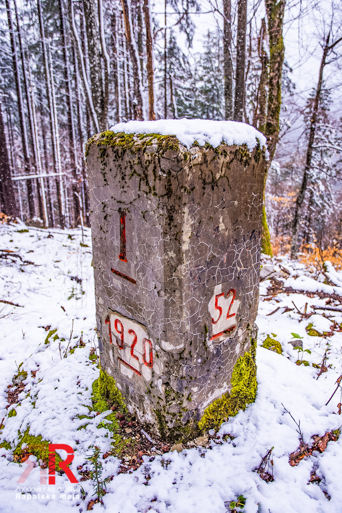
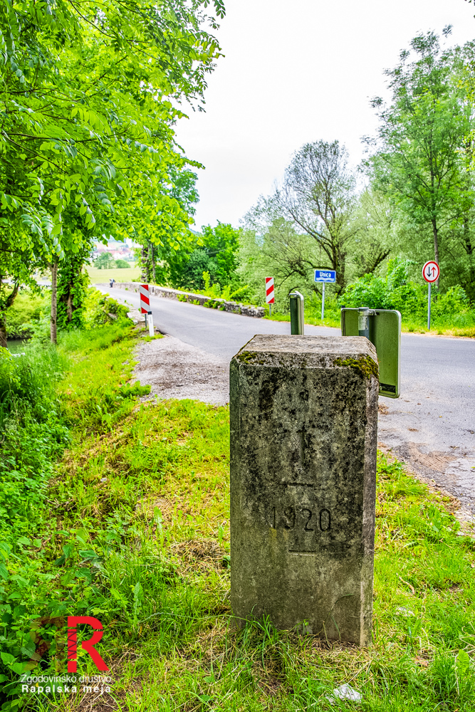
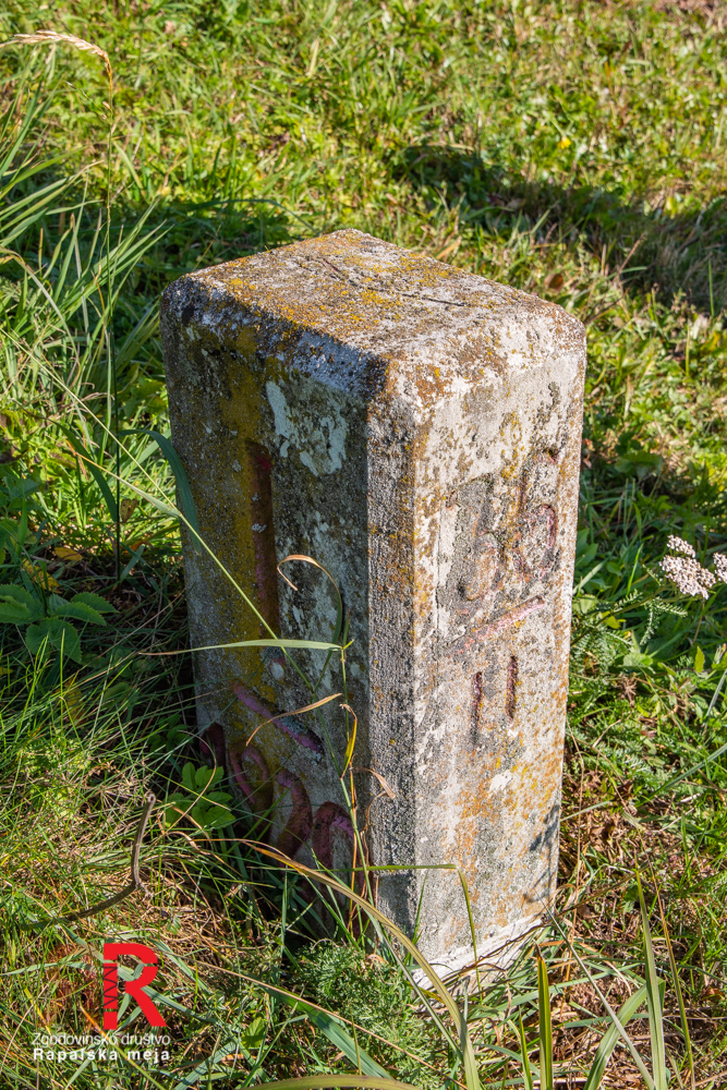
To mark the actual border line, the Kingdoms of Italy and SHS agreed to use prism-shaped reinforced-concrete markers fixed to the bedrock, adapted of course to the terrain along the border. Four different types of markers were designed; each marker had three auxiliary stone marks arranged around it, used to ensure precision when maintaining the border.
The markers carry the year 1920 — the year the Rapallo treaty was signed — and on their upper face three lines are carved: one indicates magnetic north, the other two show the direction of the previous and the next marker.


The Italian side used military labour exclusively to make the markers, while the Kingdom of SHS engaged the local population alongside the army. The border between the Free territory of Rijeka to the south and the tripoint area on mt. Peč to the north, 244,523.73 m long (after the dissolution of the Reška država on 27 January 1924, 263,934.43 m), was defined by:
- 69 'main markers'. They are placed at significant and prominent locations such as summits; they are also the initial markers of the border sectors, 1 m tall and labelled with consecutive Arabic numerals.
- 4508 'second-type markers', standing between the main markers, labelled with a sector number and a consecutive Roman numeral.
- 38 'special markers' placed where the border crosses major transport routes; their labels are identical to those of the second-type markers, but they are larger, standing 1.5 m tall.
On top of the Mt. Peč, at the meeting point of Austria, the Kingdom of Italy and the Kingdom of SHS, also stands the 'tripoint marker'.
Each marker bears, on its two opposite sides oriented parallel to the border line, a designation marking the side: the letter I on the Italian side, the abbreviation SHS on the Yugoslav side (after the Kingdom of SHS was renamed the Kingdom of Yugoslavia in 1929, the SHS letters were covered over and replaced by a J).
1931 — To cross the border, residents of Planina had to apply at the municipality (Občina Planina pri Rakeku) or the district (srez Logatec) for a so-called obmejna karta (border pass). In the Občina Planina pri Rakeku 104 residents held one; each pass had to be approved by the gendarmerie station, which collected information about applicants through informants — passes were repeatedly also revoked. A family of four from Grčarevec thus lost their passes on the basis of a neighbour's testimony that they had crossed the border line at night, when crossings were forbidden. After the family lodged a complaint, the neighbour admitted to spreading false rumours, and the passes were returned.
3D model of a sector marker
Sektorski mejnik rapalske meje št. 53
Sektorski mejnik rapalske meje št. 53 by Grega Žorž on Sketchfab
3D model of a special marker
Specialni mejnik rapalske meje 49 CXVIII
Specialni mejnik rapalske meje 49 CXVIII by Grega Žorž on Sketchfab
3D model of an ordinary marker
Mejnik rapalske meje 49 / št. LXV
Mejnik rapalske meje 49 / št. LXV by Grega Žorž on Sketchfab